What is a Ground Penetrating Radar (GPR) Survey?
Ground Penetrating Radar (GPR) is an advanced geophysical survey technique that uses electromagnetic waves to scan beneath the ground surface. The system transmits high-frequency radar signals into the soil, and when these signals encounter different materials, they bounce back to the receiver.
The collected data is processed into detailed underground profiles that reveal the location, depth, and shape of buried objects and geological features.
Unlike conventional excavation methods, GPR allows professionals to investigate subsurface conditions quickly, accurately, and without causing damage.
More Information - https://www.sunconengineers.com/ground-penetrating-radar-gpr-survey-company-in-india/
How Does GPR Survey Work?
The GPR survey process typically includes the following steps:
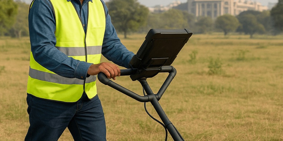
1. Site Assessment
Survey professionals inspect the project area to understand the site conditions and survey objectives.
2. Radar Data Collection
A GPR antenna is moved across the survey area while continuously transmitting radar waves into the ground.
3. Signal Processing
Reflected signals are recorded and processed using specialized software.
4. Data Interpretation
Experienced survey engineers analyze the radar profiles to identify underground utilities, reinforcement bars, voids, buried objects, and subsurface anomalies.
5. Final Survey Report
Clients receive a detailed report including underground utility maps, marked locations, depth estimates, and recommendations.
Applications of Ground Penetrating Radar Survey
GPR surveys are widely used across multiple industries in India.
Underground Utility Detection
Locate:
- Water pipelines
- Gas pipelines
- Electrical cables
- Fiber optic cables
- Sewer lines
- Drainage systems
This minimizes accidental utility damage during excavation.
Visit Our Website - https://www.sunconengineers.com/
Road & Highway Investigation
GPR assists in:
- Pavement thickness measurement
- Road condition assessment
- Base layer evaluation
- Detection of subsurface voids
Benefits of Ground Penetrating Radar Survey
Non-Destructive Testing
No excavation or drilling is required, preserving the site while collecting valuable underground data.
High Accuracy
Modern GPR systems provide highly accurate subsurface imaging for utility mapping and structural assessment.
Faster Project Execution
Quick detection of underground obstacles reduces delays during construction.
Improved Safety
Prevents accidental damage to underground electrical cables, gas pipelines, and water lines.
Cost Savings
Avoiding utility strikes and unnecessary excavation significantly reduces repair and project costs.
Real-Time Results
Survey engineers can review findings immediately during fieldwork.
More Related Article - https://www.sunconengineers.com/gpr-survey-companies-in-coimbatore/