
@dronelidarmapping
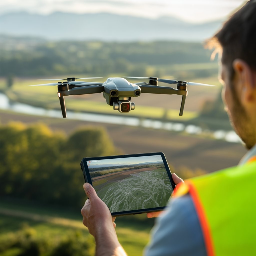
DroneLidarMapping is a leading provider of nationwide drone-based LiDAR mapping and aerial surveying services. Utilizing advanced drone technology, we deliver high-precision data for industries such as real estate, construction, and environmental planning. Our services include topographic surveys, ALTA/NSPS land title surveys, boundary determinations, and 3D modeling.
